Wandering Lindsays
Not all who wander are lost....but we probably are!
Cariboo Gold Rush Trail
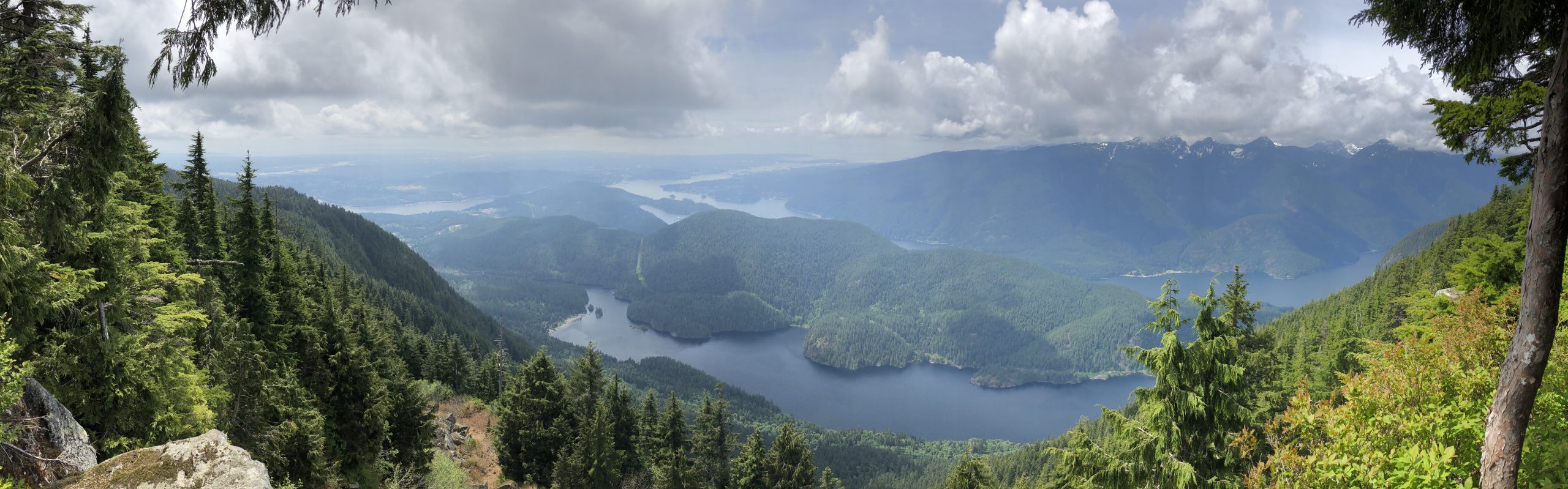
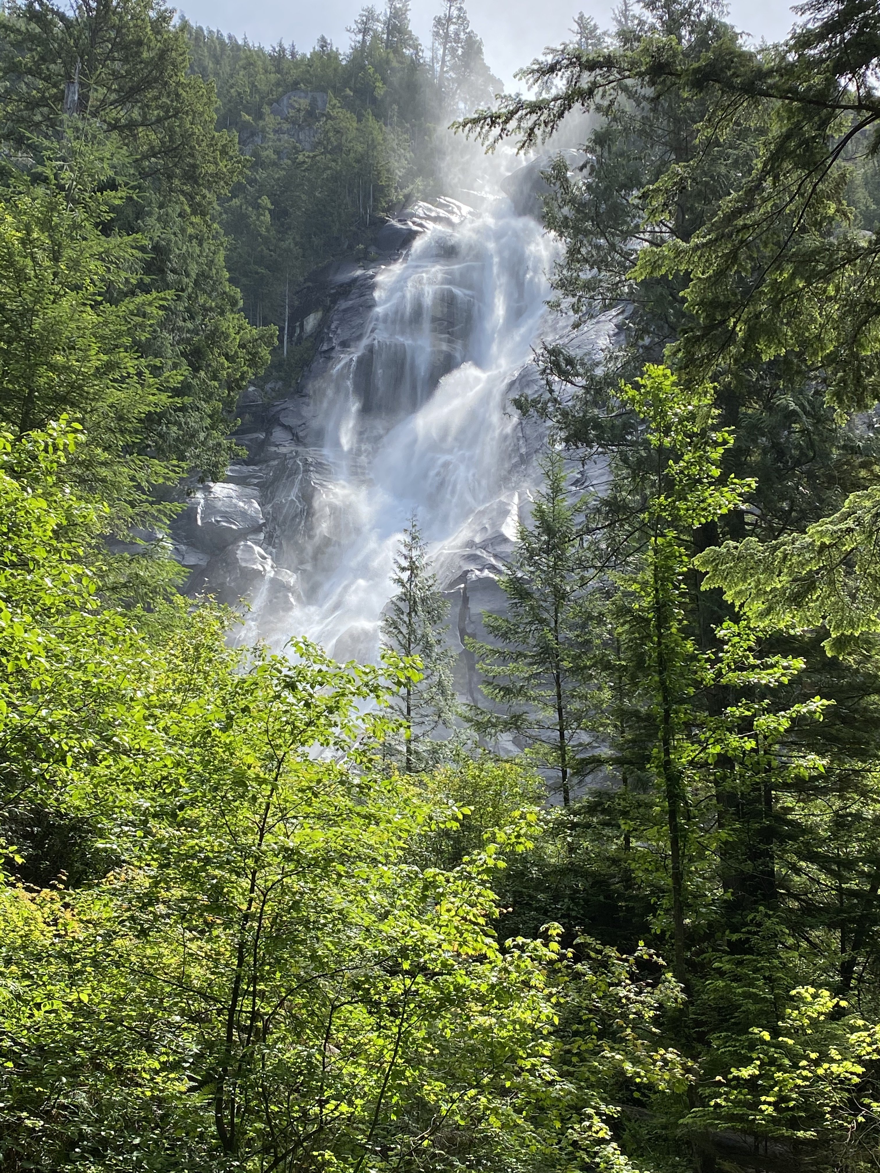
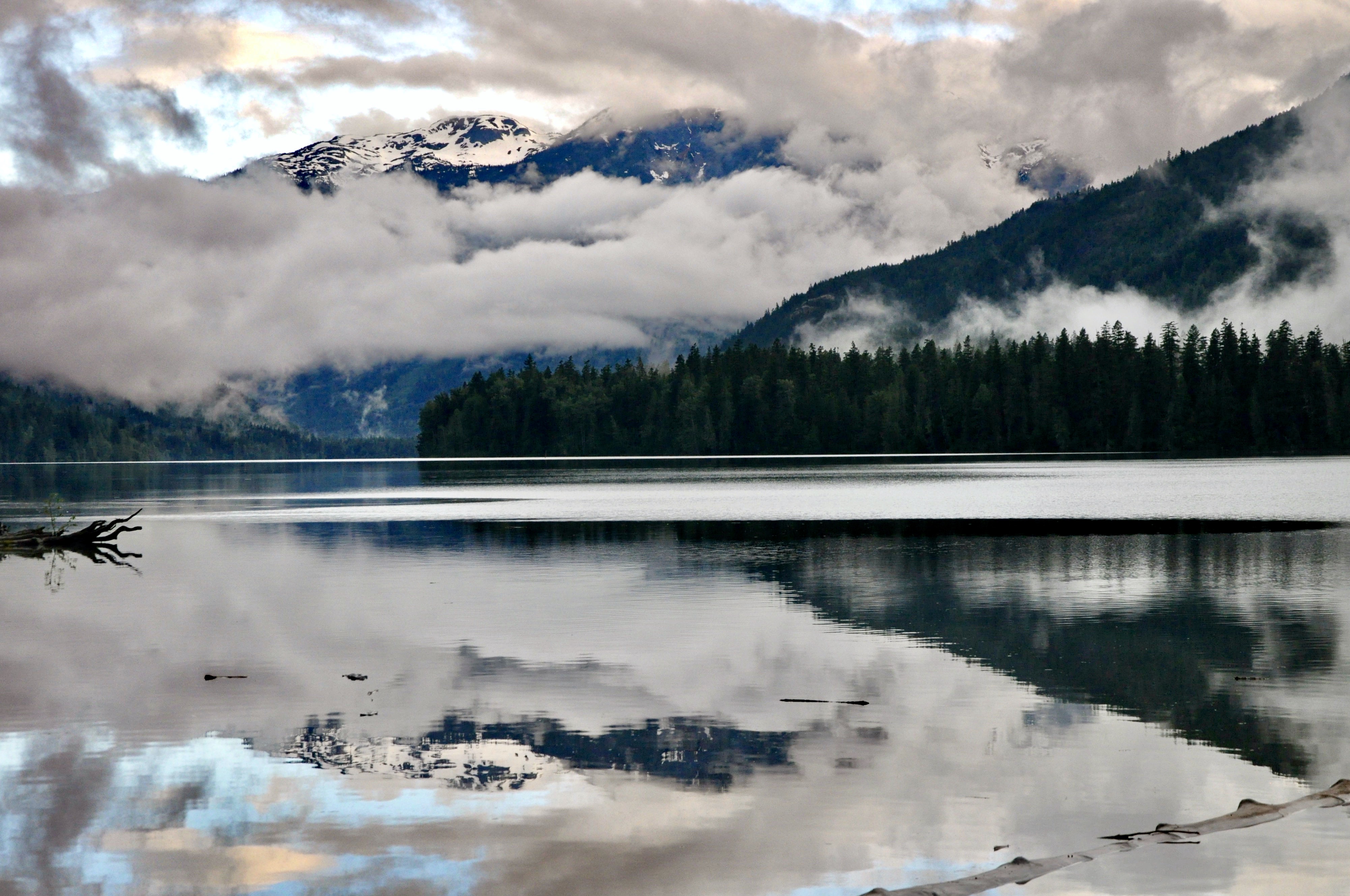
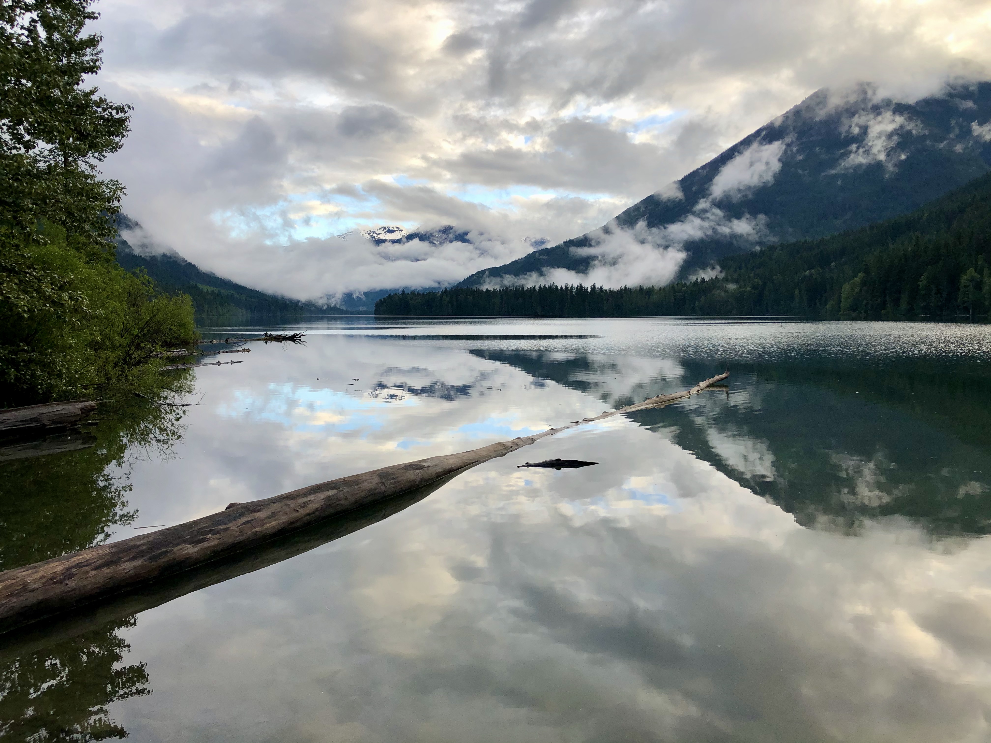
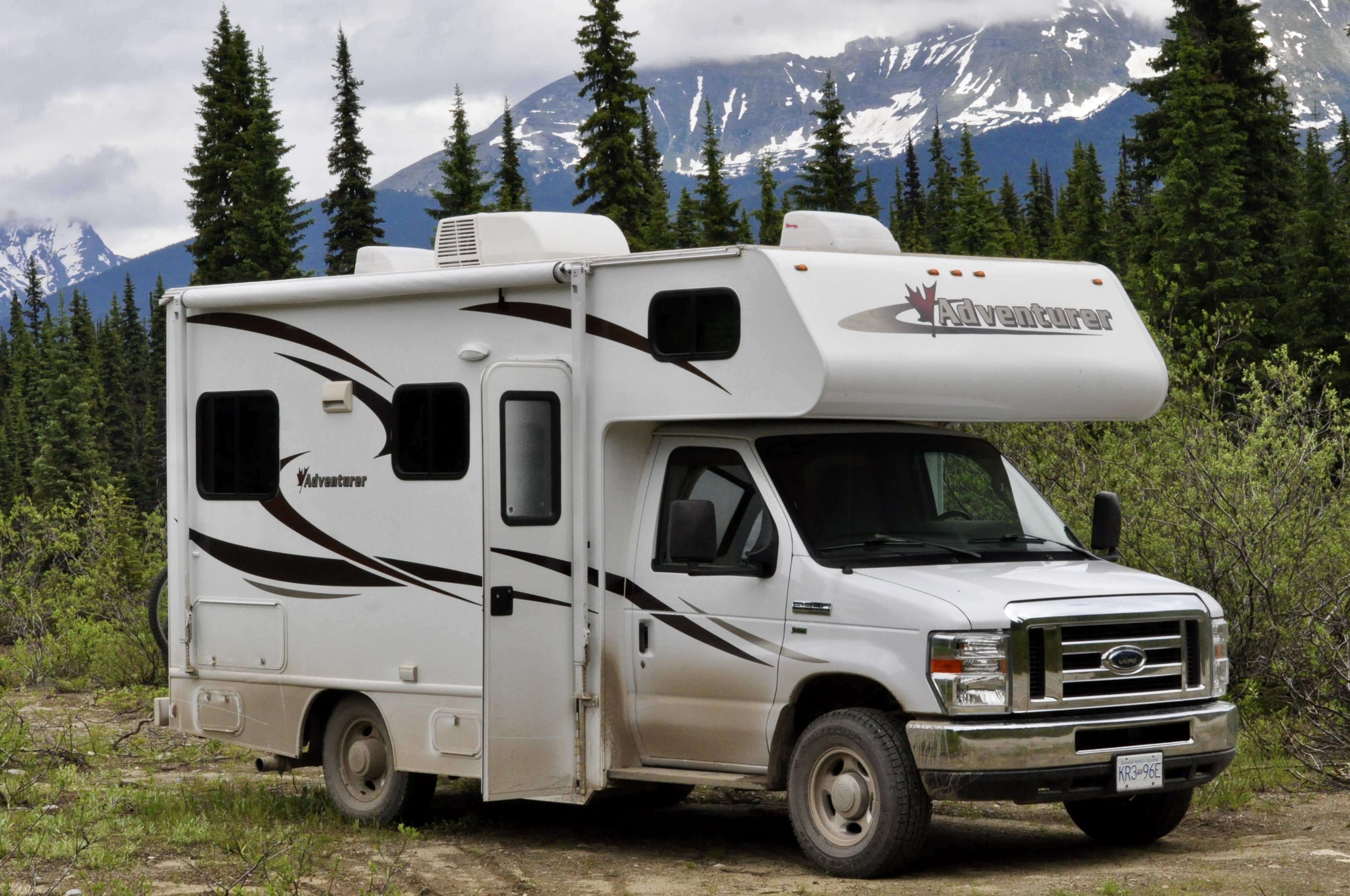
At the end of June, we loaded up B, left Vancouver and headed north! Our first two stops were in a couple of beautiful but rather busy provincial parks in the Pemberton Valley. We enjoyed a little hiking, trail running and chilling on the lake. The weather wasn’t great but B kept us dry and comfortable.
As we wound our way north up the Gold Rush Trail from Clinton, it became pretty clear that the weather was not going to improve and that we had better prepare for a lot of rainy days. Between the rain and the late snowmelt making its way to the rivers and lakes in the Cariboo, we found that a number of our intended destinations were actually under water!
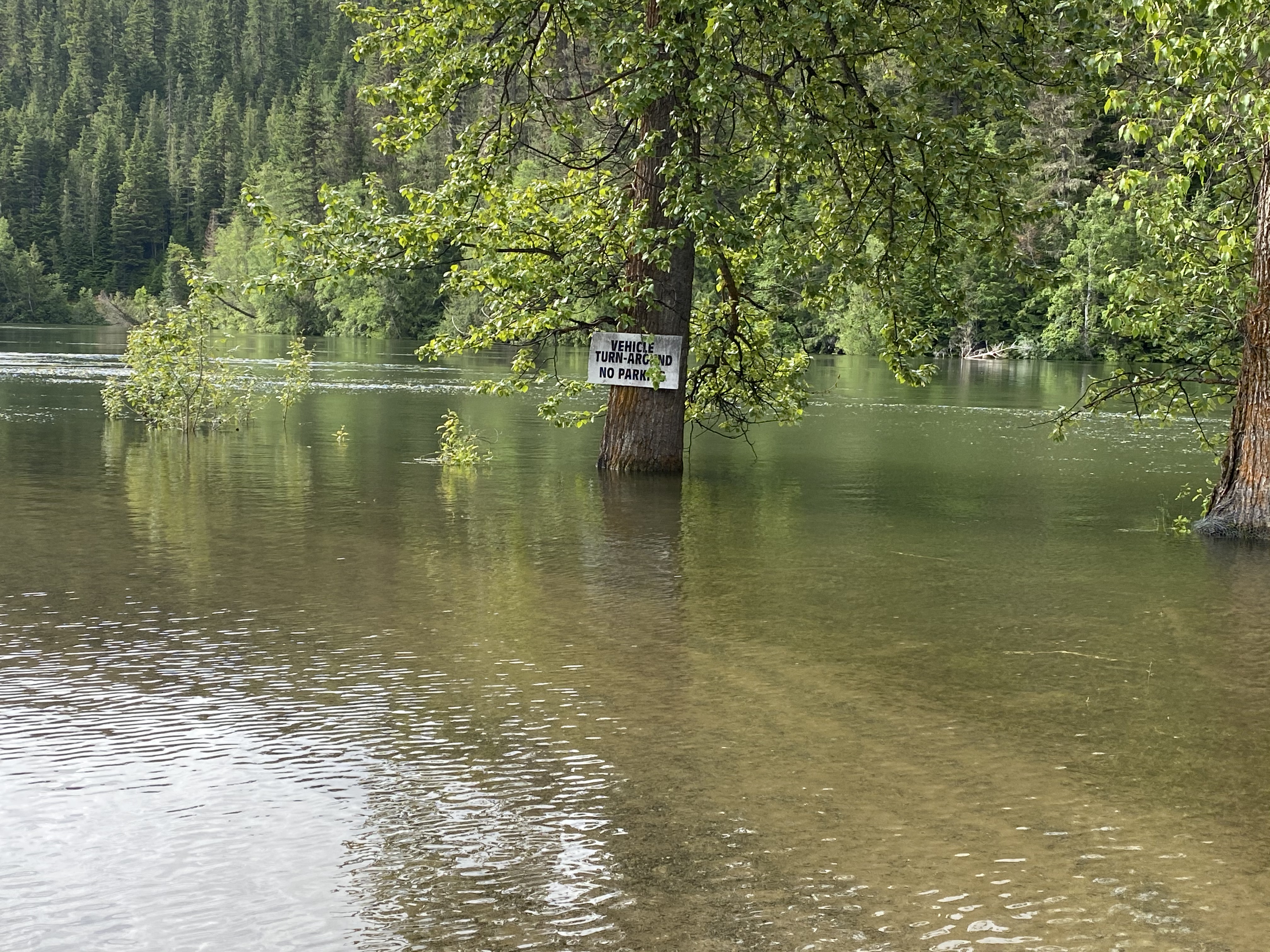
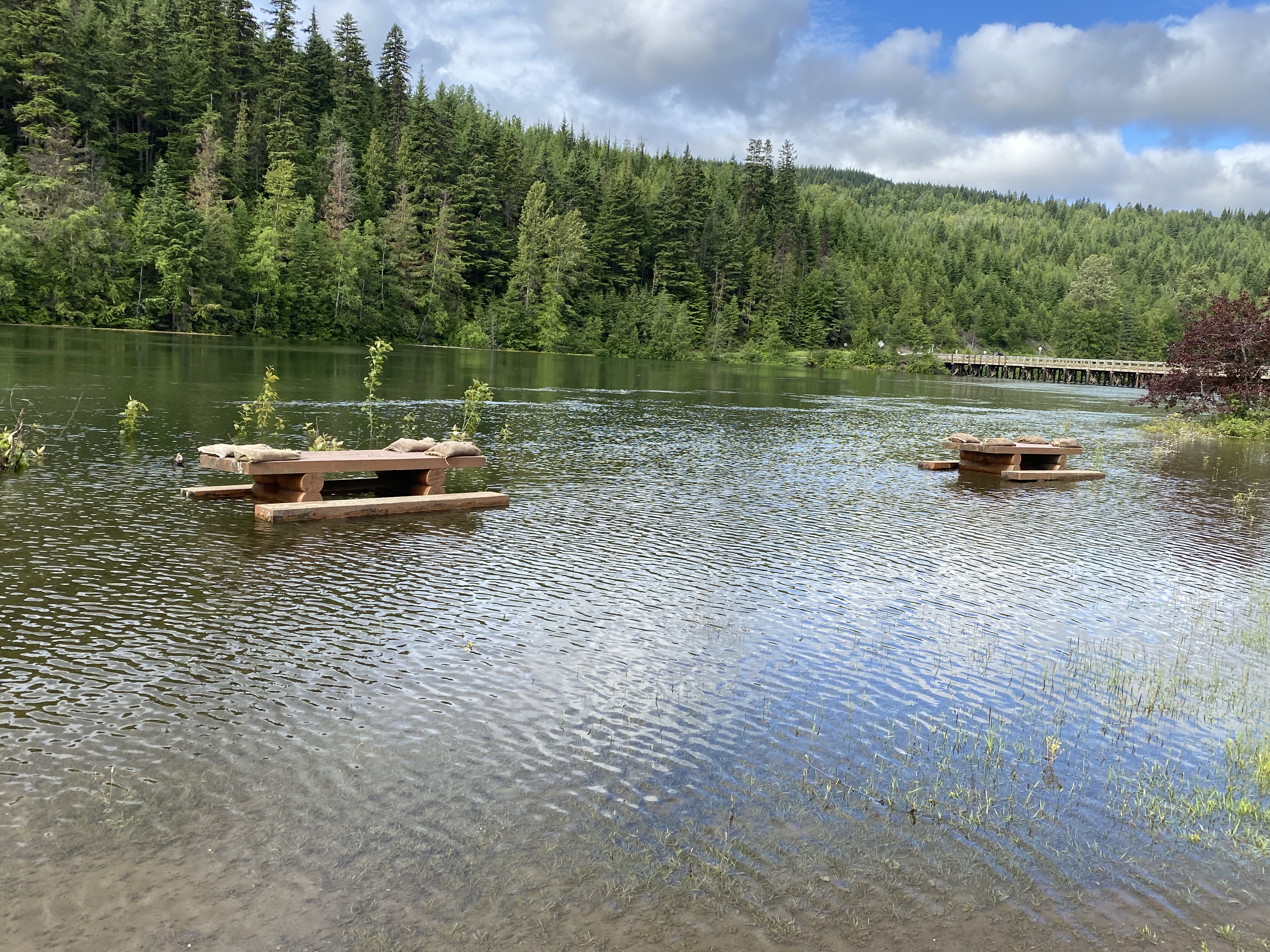
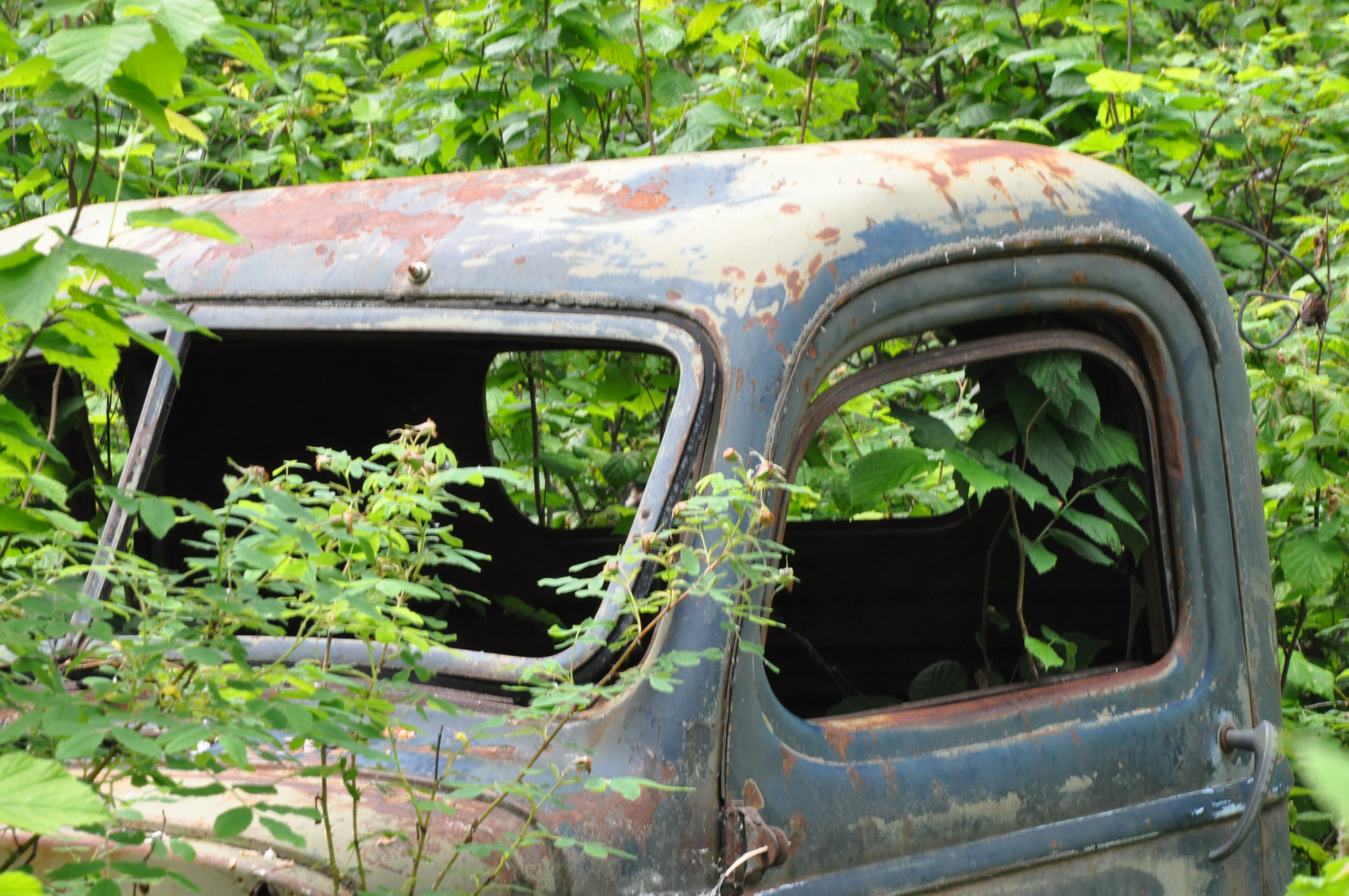
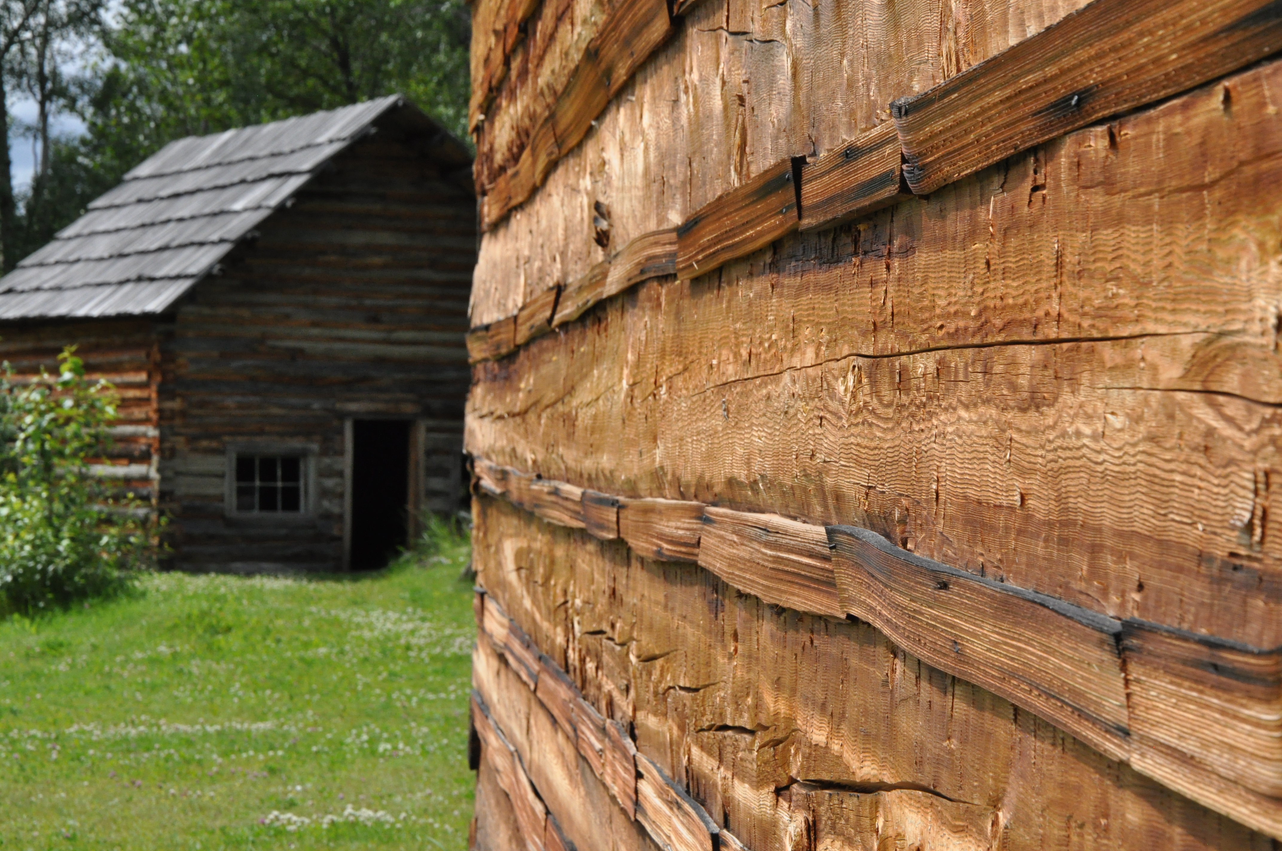
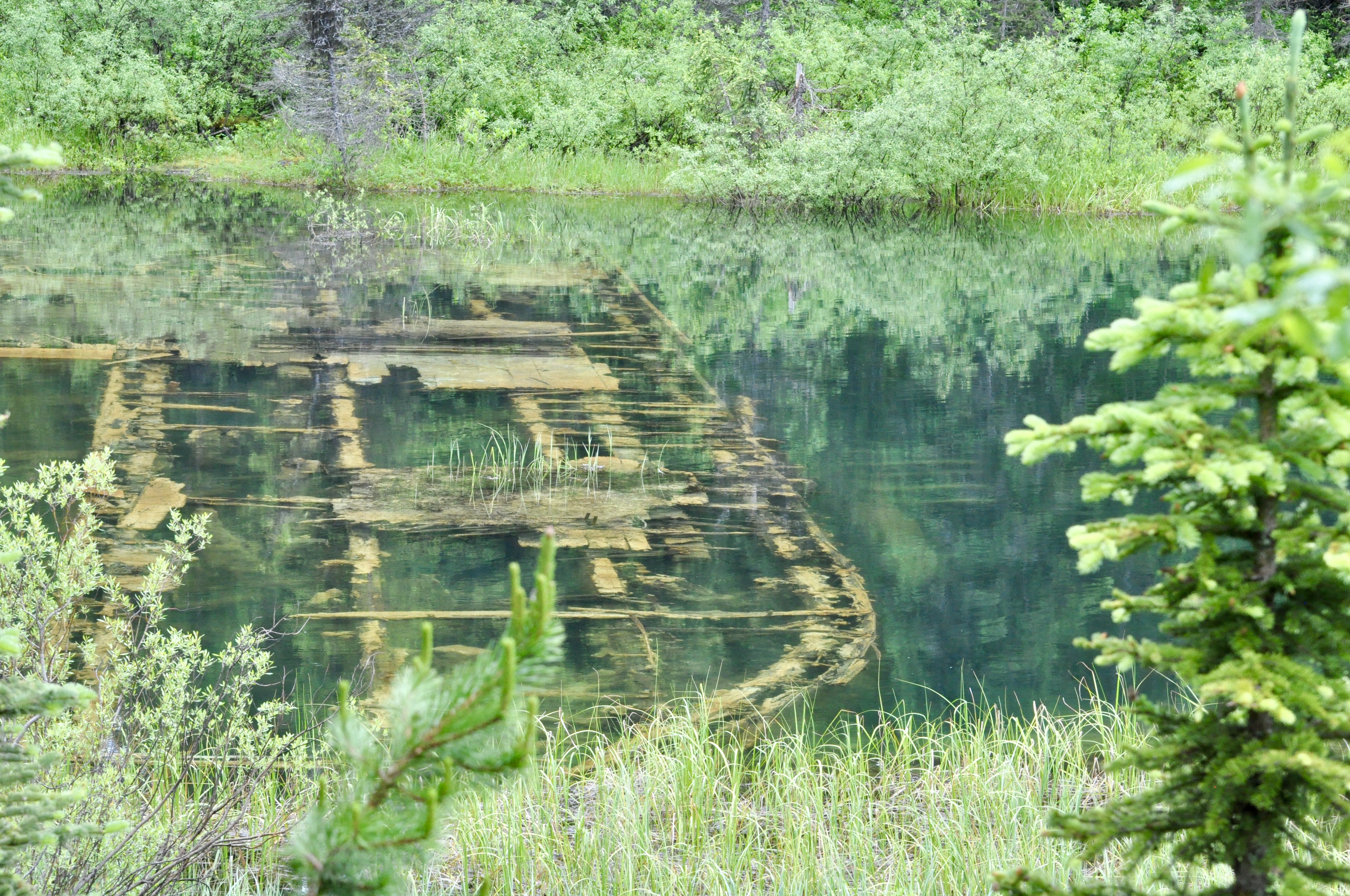
Likely was the first such destination….we were hoping to stop at the provincial park on Quesnel Lake just outside of town but it was closed due to flooding. In Likely itself, picnic tables lining the river were under water and had sand bags on top to ensure they didn’t float away. We did a quick pivot and headed instead for Quesnelle Forks, a ghost town about 13 km down an old dirt road from Likely. We heard that there was a recreation site where we could camp so decided to check it out. It ended up to be quite a find! Quesnelle Forks was a gold rush town, established in 1860. It boomed and was all but abandoned within a dozen years. There were a few who remained, mostly Chinese miners and a few merchants, until the 1950s when the last resident finally passed. There are a number of buildings in Quesnelle Forks that are in various states of disrepair and an old graveyard which was really interesting. There were so few visitors there and we were free to wander around the site. It was a kind of eery and peaceful at the same time.
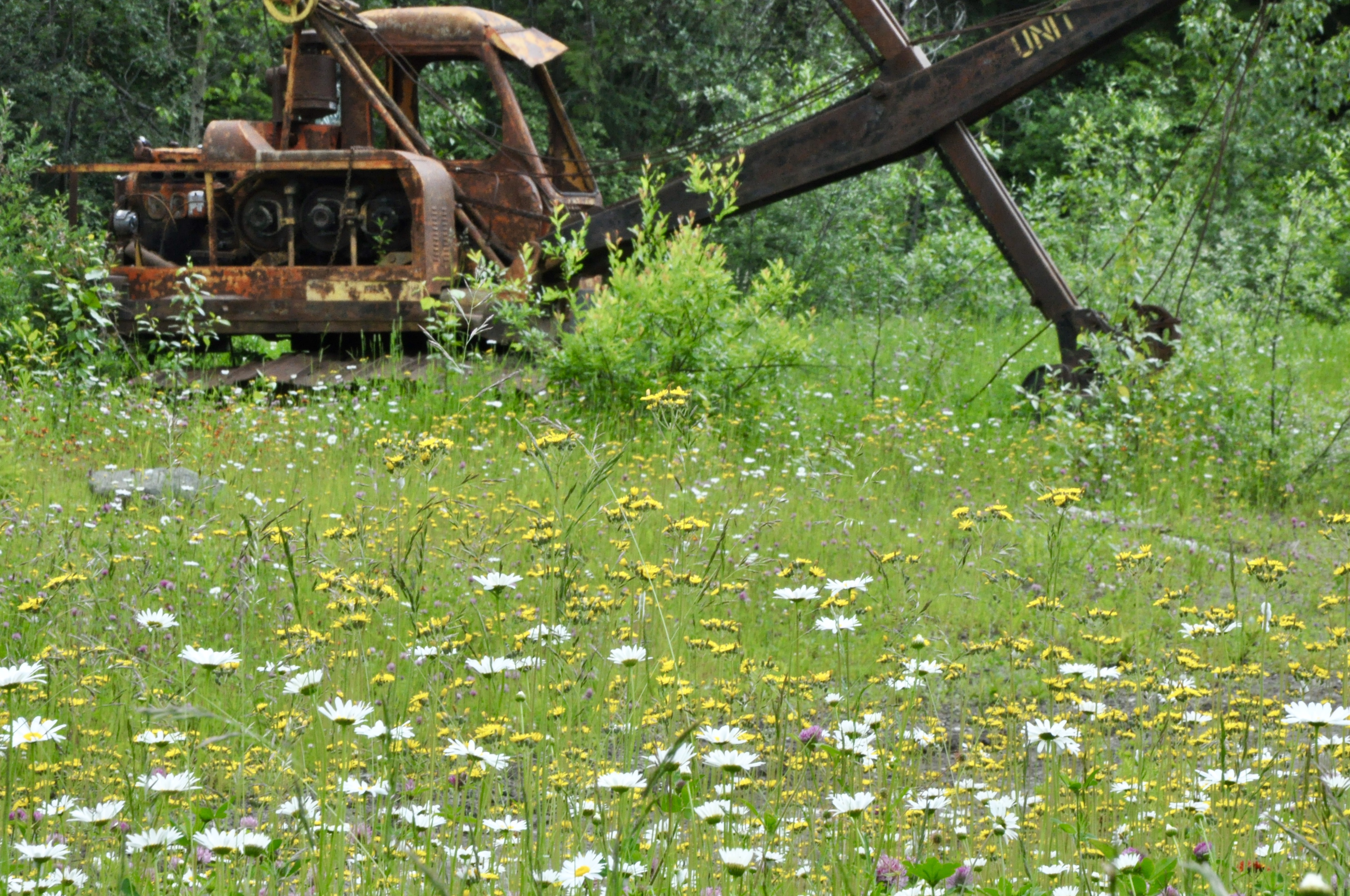
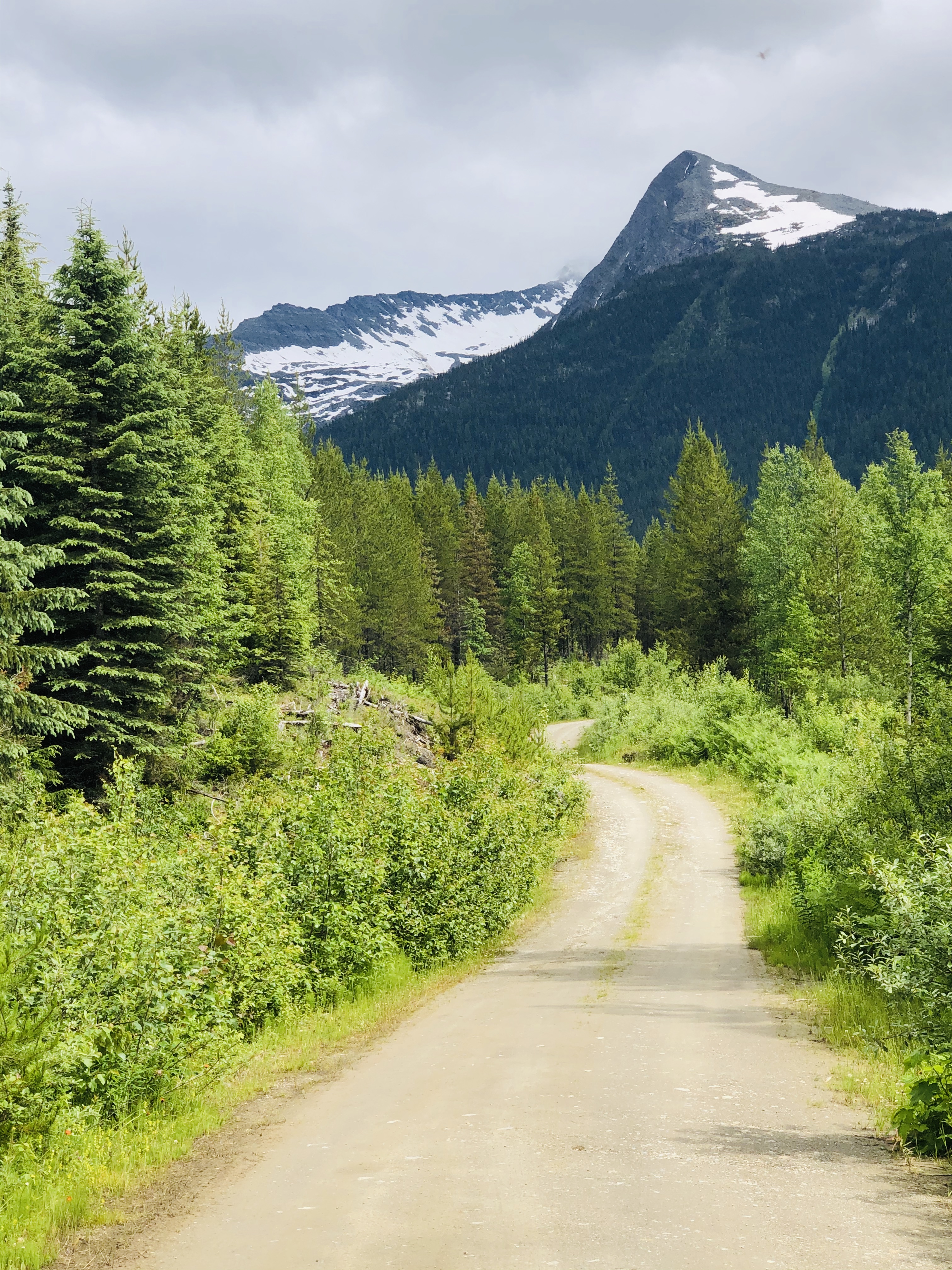
There is a seasonal road between Likely and Barkerville that is locally known simply as “the Backroad.” The road promised dramatic mountain scenery and beautiful lakes interspersed with historic sites….we were intrigued so we decided to put B to the test and see if we could make it around the 150 or so kilometres to Barkerville. I am happy to say that B was up to the challenge and other than one particularly nasty area that was under active logging operation, we made our slow and steady way quite comfortably to our destination and enjoyed a few great stops along the way.
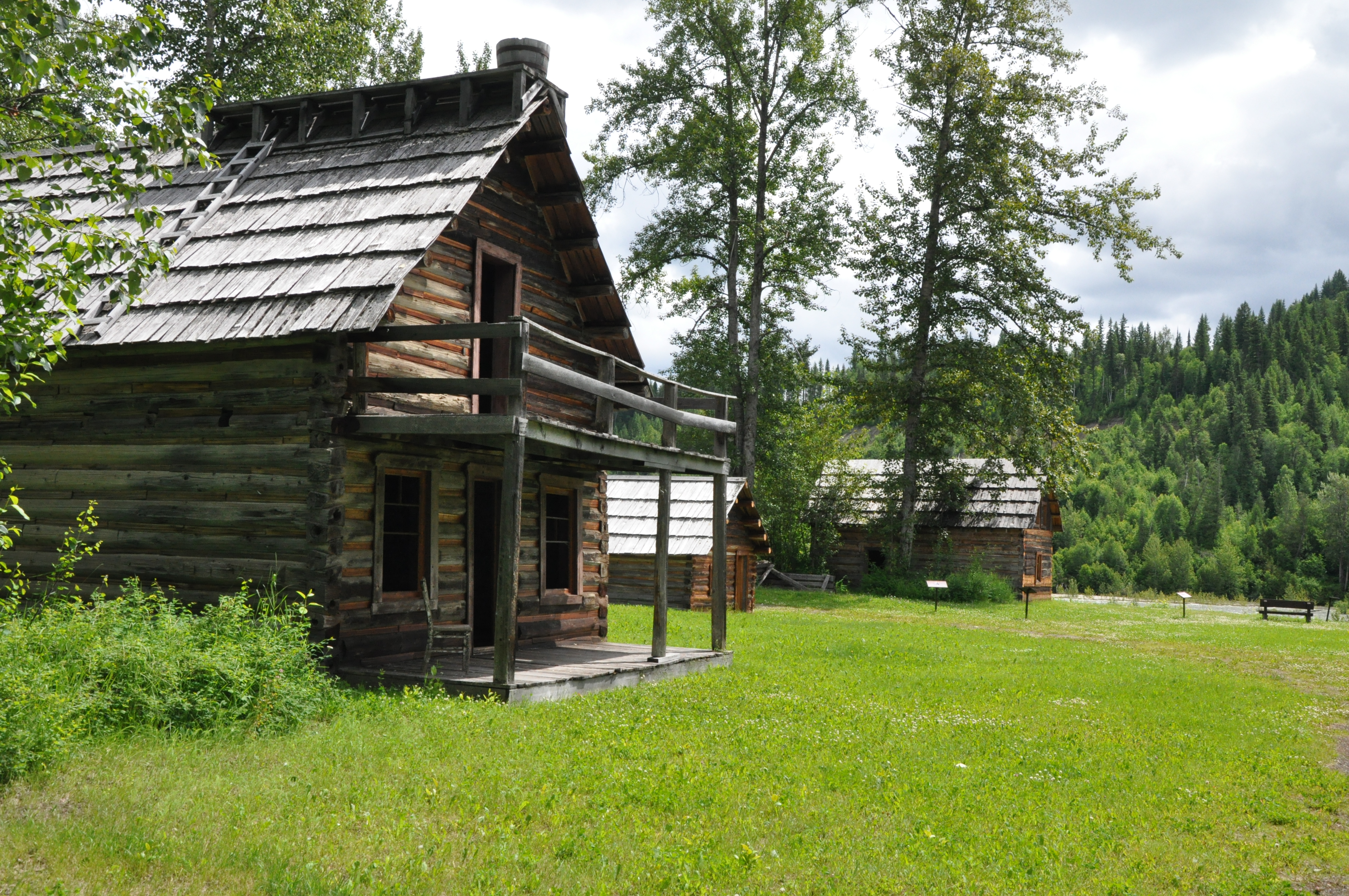
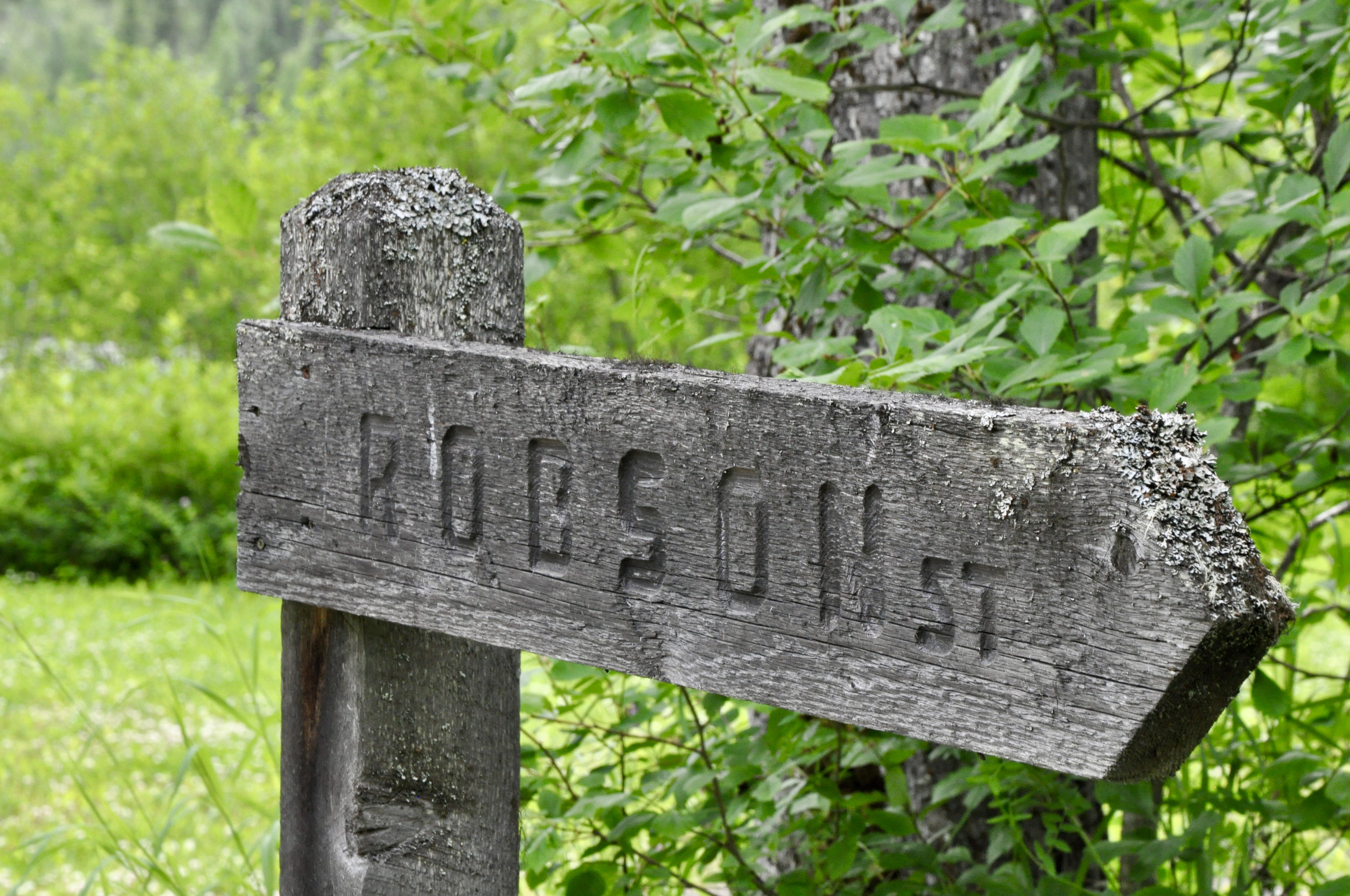
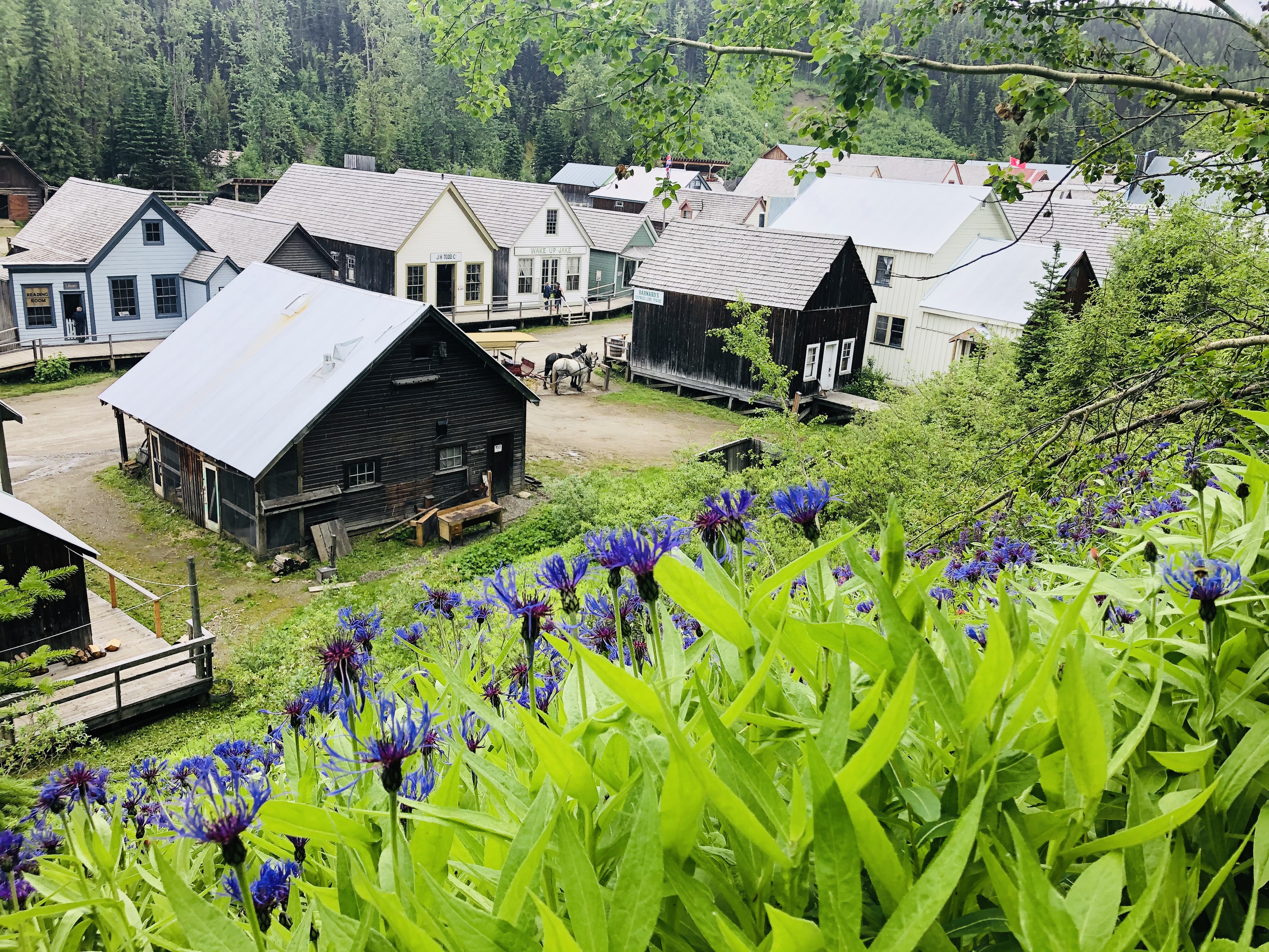
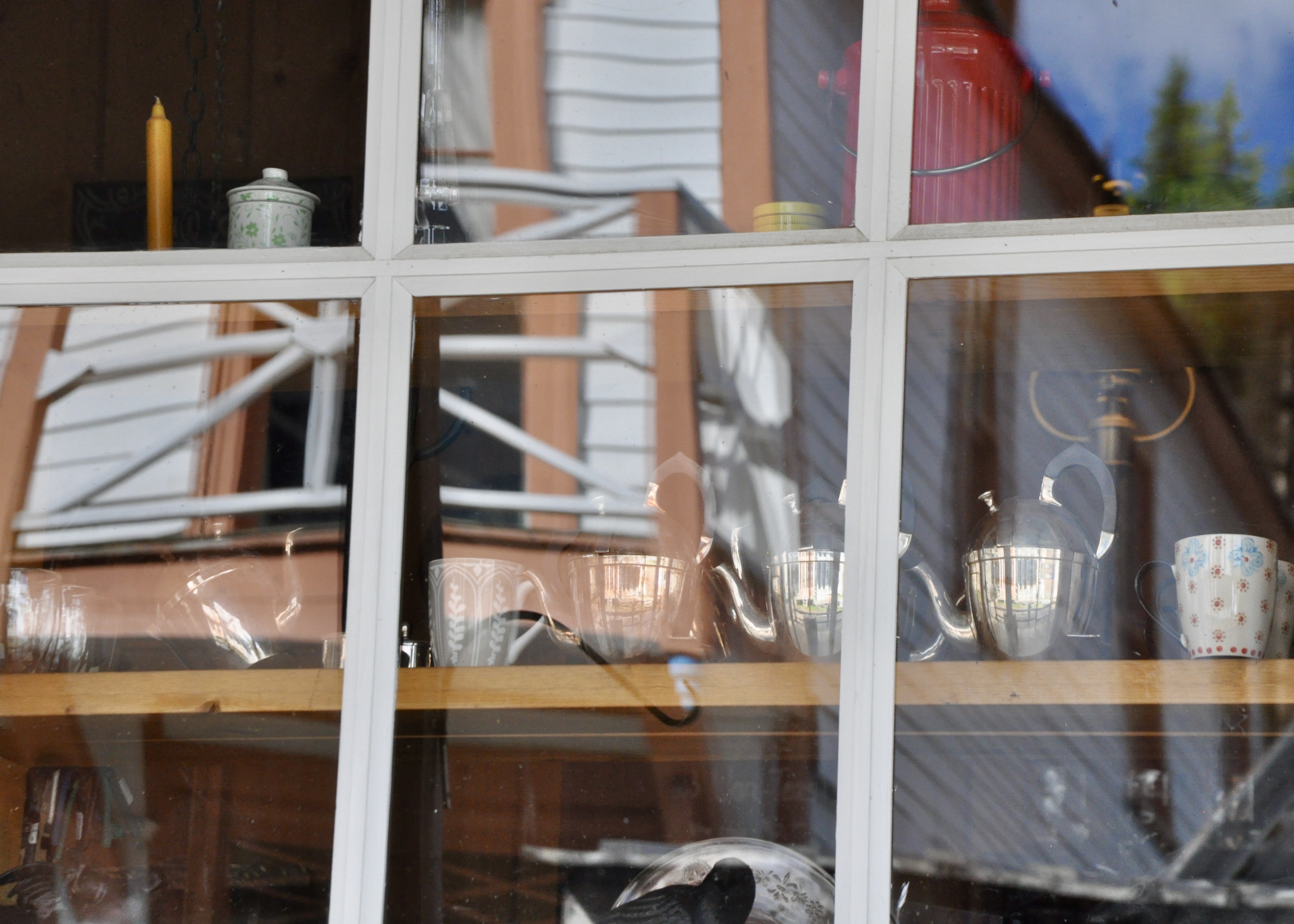
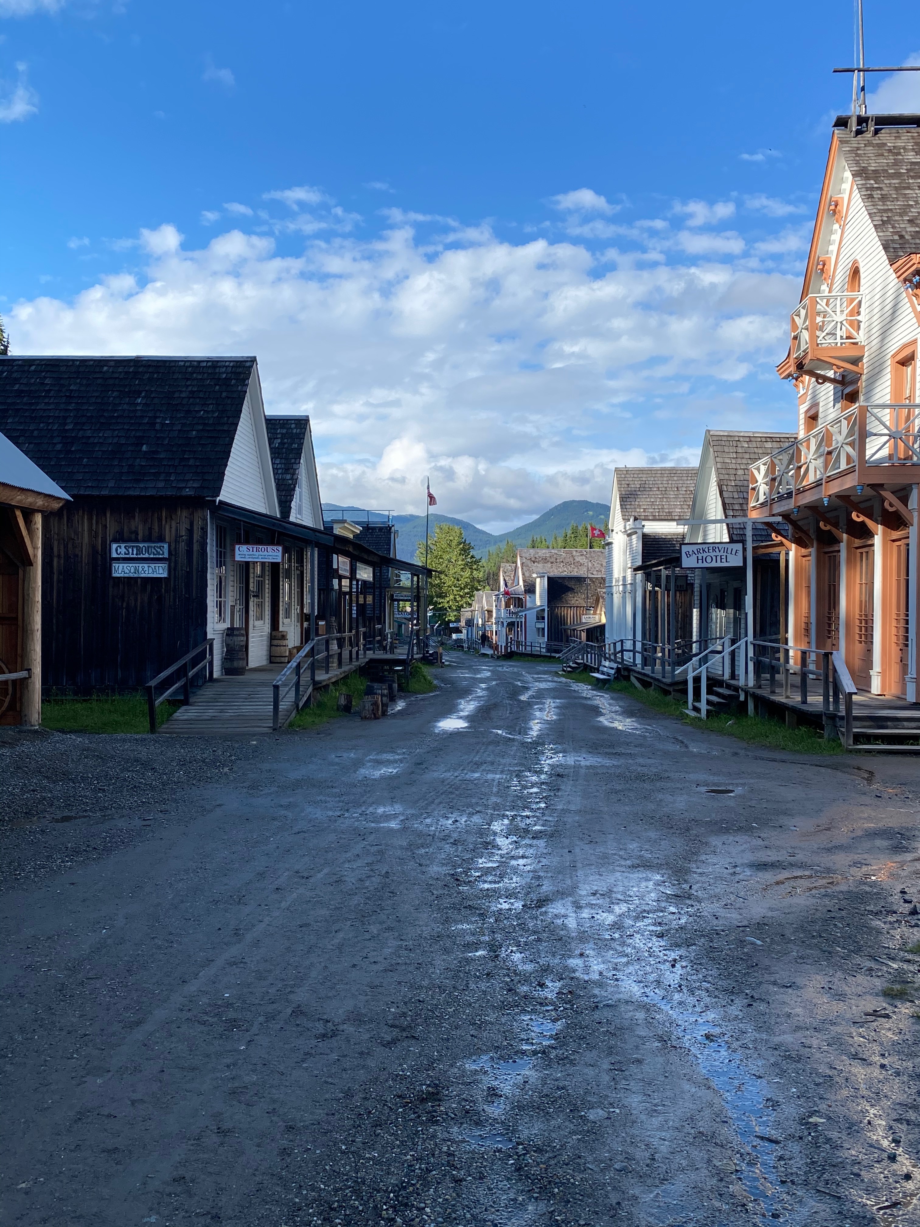
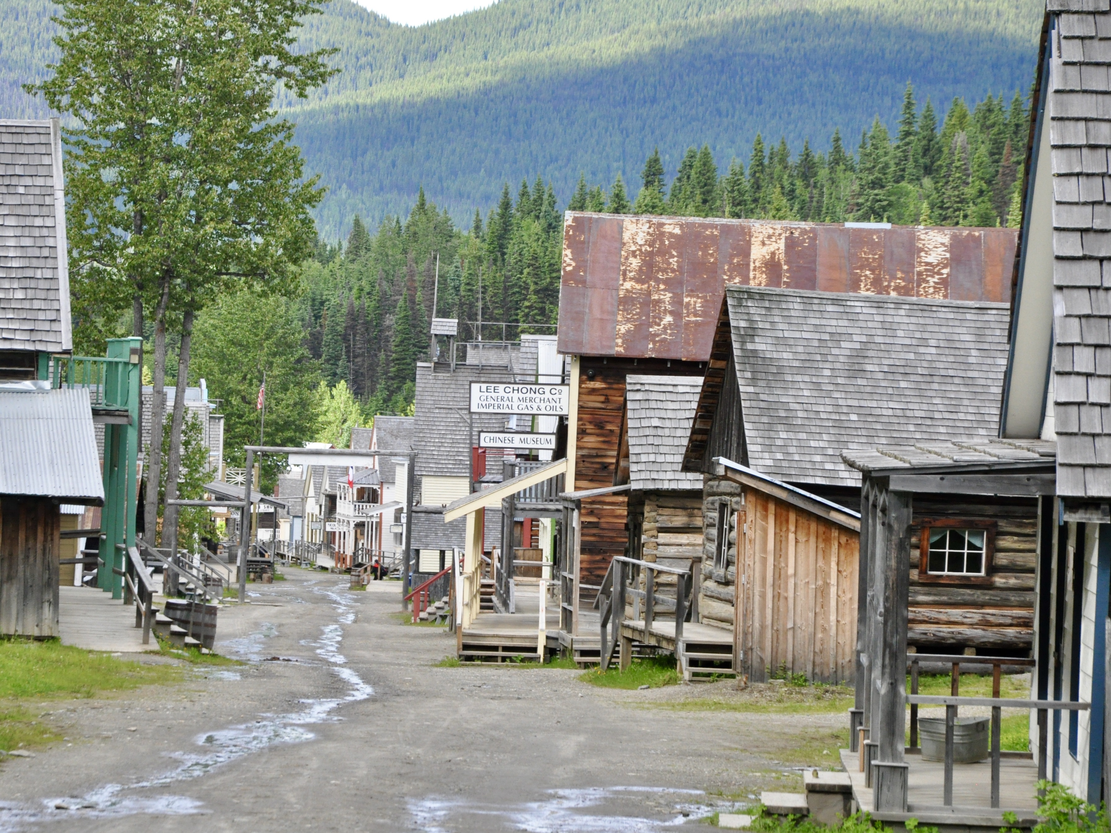
Barkerville itself is a heritage town and Canadian National Historical Site. Gold was discovered by Billy Barker on the nearby Williams Creek in 1862 and the town sprung up nearly overnight to service the ensuing gold rush. Over the next 35 years or so, over 35,000 kilos of gold were extracted from the creek. I can’t even imagine what that would look like! Understandably Barkerville was a big deal back in those days – one of the largest cities in the West. Nowadays there are restored buildings, old shops, restaurants and historic interpreters – in old-time garb – to give a sense of what it must have been like in its heyday.

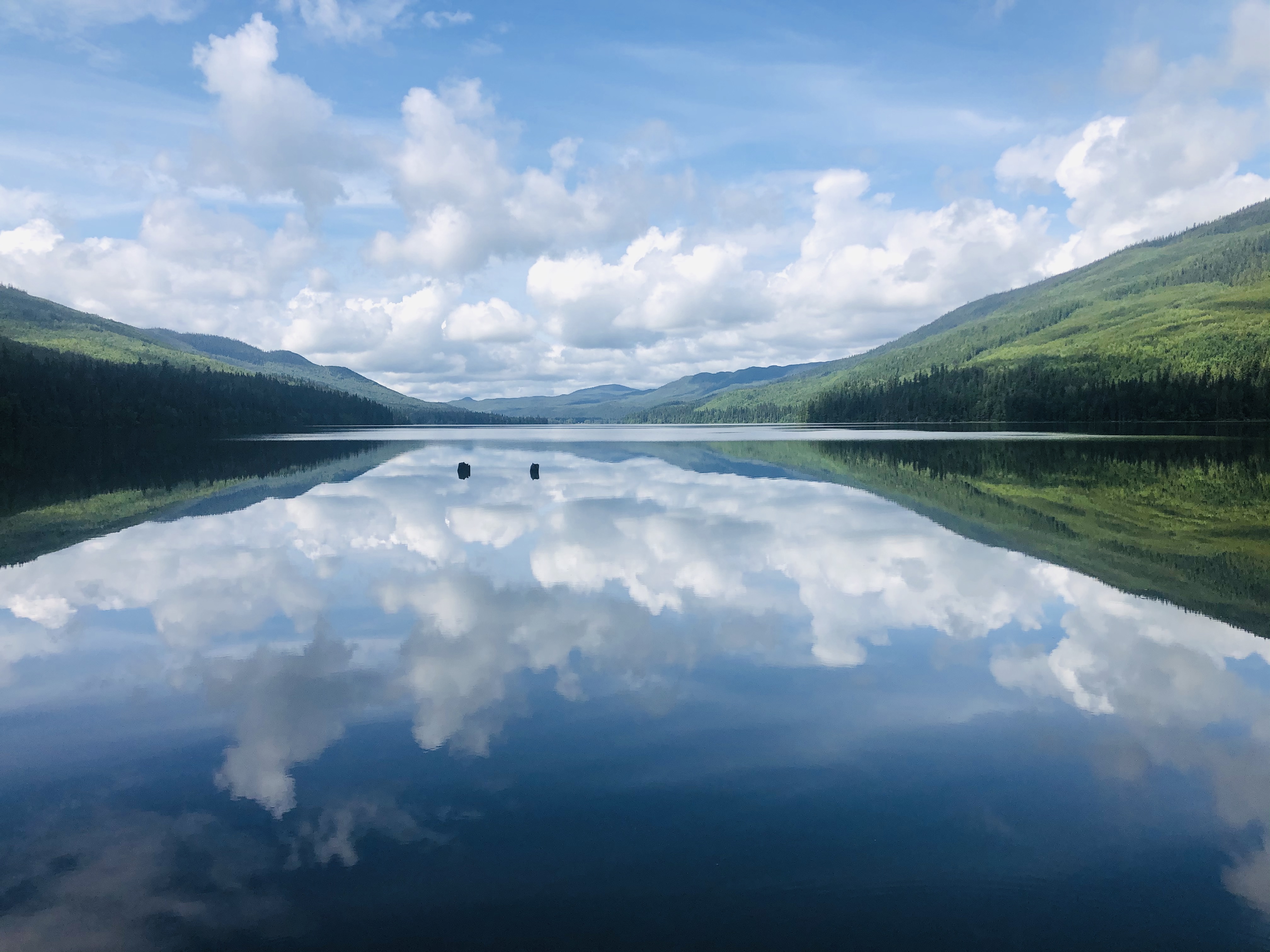
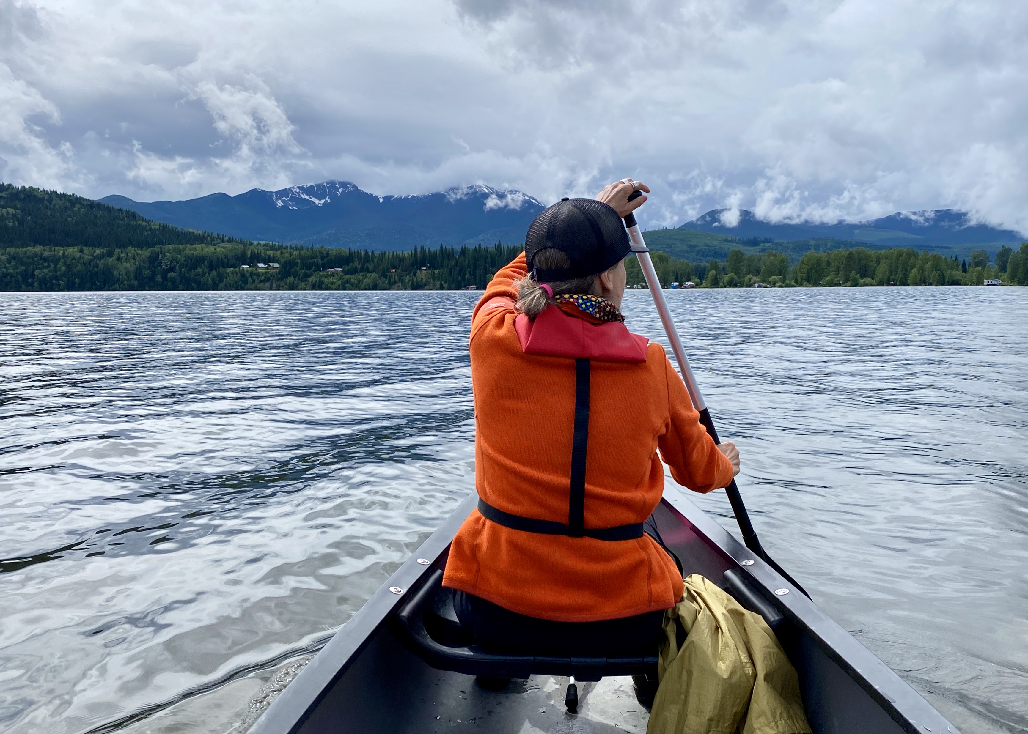
From Barkerville, we made a short side trip to Bowron Lake Provincial Park. This area is quite famous for its 116km canoe circuit and in the summer sees visitors from all over the world who come to enjoy some paddling amid the beautiful scenery. When we arrived in July though, only a small portion of the circuit was accessible – the rest of it was flooded out. We didn’t have any designs on paddling the circuit (this year anyway) so we were happy to spend a couple of nights in the provincial park and paddle around camp. In the end it was rainy, cool and the mosquitos were just crazy so I am quite glad more canoeing and tenting was not in the plan this time around.

You must be logged in to post a comment.